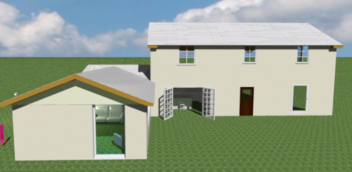
Hi, sorry if this is an obvious question, I've just started using SH3D to plan an extension. I'll need to create elevation views for the UK Planning service.
Here's the story so far:
How do I go from this, to a Front Elevation view (i.e. no 3D persepctive)?